Tiger Sharks lead Beneath The Waves team to Largest Seagrass Bed on Earth
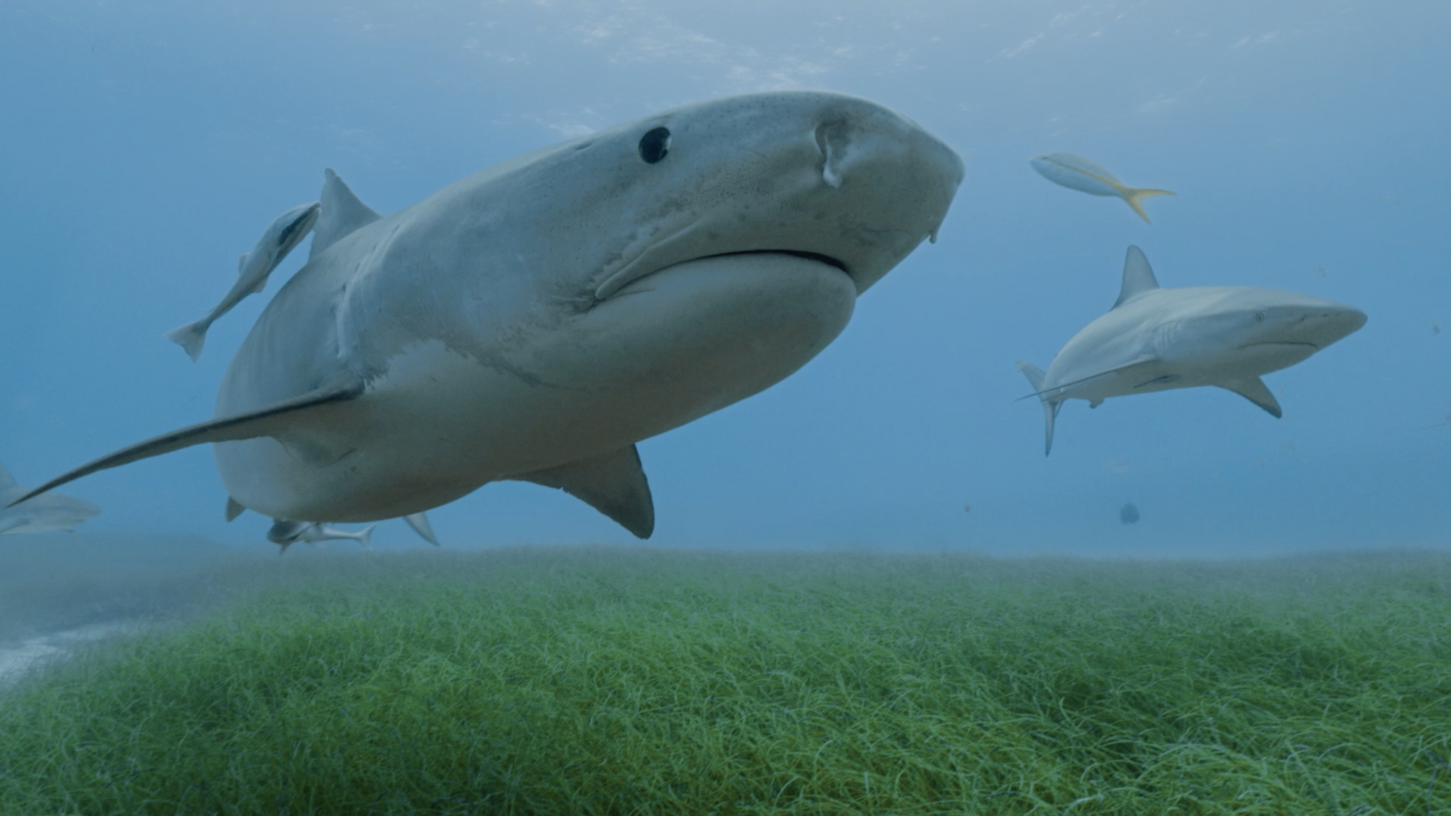
Tiger sharks, mainly known for their distinctive stripes and maybe even as the “garbage can of the sea” for their generalist diet, have added one more distinguishing factor to the list; leading scientists to the largest seagrass ecosystem on Earth.
In perhaps the largest ocean discovery of the decade, Beneath the Waves has reported an area of roughly 66,000 to 92,000 km2 of seagrass in the Bahamas Banks. BTW founder, Dr. Austin Gallagher, spearheaded this study after tracking tiger shark movements and noticing that the sharks had a preference for seagrass habitats.
2,542 surveys later, the BTW team was able to solidify what the tiger sharks had originally hinted at—the largest seagrass bed in the world.
Since seagrass beds are excellent sources of capturing, or sequestering, carbon (~17% of the ocean’s carbon annually), this discovery provides the world with a better idea of the ocean’s capacity to store carbon that would otherwise be held in the atmosphere.
How Did We Do It?
Due to the scale of this project, our team used several methods including tiger shark tagging, human surveys, sediment coring, and remote sensing.
Shark Tagging
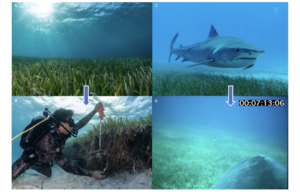
In the field, our scientists tagged eight tiger sharks with satellite tags that would record swimming depth and water temperature. Seven other tiger sharks were given custom-built camera tags, including the first 360-degree camera to be outfitted on a marine animal. Traveling 4177km over the course of the study, our shark collaborators allowed us to see and document the habitats that they swam through.
Human Surveys
Even though the sharks were able to map a much larger distance than humans would be able to do alone, we still needed to verify the information being received from them. Our scientists literally dove into this part of the study and took photographs of the seafloor during free dives or boat tows. Both methods resulted in the largest volume of human-based seagrass surveys to date—2211 to be exact.

Human surveys and camera footage from tags deployed on tiger sharks allowed us to map record amounts of seagrass.
Sediment Coring
We were able to estimate that this seagrass ecosystem accounts for about 19-26% of the global carbon buried in seagrass beds. That’s a lot of carbon. To determine this amount, we used a cylindrical tube to collect sediment cores up to 30cm in areas of differing seagrass densities. These samples were then taken to the lab and eventually weighed to determine the amount of organic carbon in each sample of sediment.
Remote Sensing
We covered a lot of space in this study, so it was only fitting to use Landsat 8, a satellite developed by NASA and the US Geological Survey, to help us map the extent of our study area. Data from Landsat was compared to images from the human surveys and with other remote sensing products.
So What’s the Big Deal?
Besides being the largest marine discovery of the decade, this study held several firsts. We were able to accomplish the first deployment of a 360-degree camera on a marine animal, completed the largest volume for human-based survey data on seagrasses, and showed that all of the existing remote sensing products have largely underestimated seagrass area.
By collaborating with tiger sharks to view their movements and habitat, we were able to break through the logistical challenges that humans face when trying to study and map large marine areas. This has the potential to change the future for largescale research. Watch the video below to learn more about how we made this discovery and why it’s so important.
What’s Next
Following this breakthrough on seagrasses’ potential for global carbon storage, we will be diving into our latest project, Blueprint. We’ll be taking what we know about seagrasses and will be working with the Bahamas and beyond to build economies based on the conservation of our most precious ecosystems.
Learn more about Blueprint here and read our full seagrass paper at this link.
Edited by Alex Butler.


